Case-study /
Sustainable Riparian Management


Overview
Climate change projections indicate that flooding events are likely to become more severe and regular in the future. The management of flood plains is becoming increasingly important to land managers. The aim of this document is to showcase a Cheviot Futures site that is investigating the benefits of managing a riparian zone in a multi-benefit sustainable manner.
The Bowmont-Glen Catchment Initiative (MNV Consulting, October 2010) classified the Bowmont Water as a ‘dynamic upland wandering gravel bed river; one of the most diverse and changeable fluvial environments in the UK’. Also stating this section of the river as a key site for action.
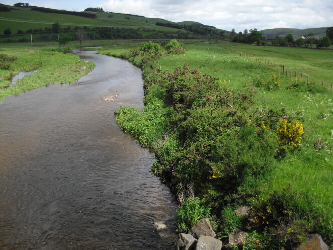
The project site is in a floodplain location on the Bowmont Water, it is low lying and a point where the flows are slowed, encouraging the deposition of sediment material mobilised from further up the catchment. The land is under permanent grass cover and is grazed by sheep and cattle. In addition the site is well used for public access.
The work is intended to assist the stabilisation of sediment deposits within this reach of the Bowmont Water using natural vegetation. This will mean that the risk of the sediment being re-mobilised in future flood events can be reduced and managed.
The aim of this demonstration site is to showcase the sustainable management of floodplain land, balancing the interests of farm management, flood management, habitat and biodiversity benefits, and public access interests.
Planting native trees alongside watercourses, particularly in the upper reaches of a river, and also in small upland cleughs and gullies can greatly assist the natural management of flooding and reduce associated flood and erosion risks.
These works are of greatest benefit as a collaborative, catchment scale approach such as that being developed in the Bowmont Catchment through Cheviot Futures.
High water flows in the river are slowed down and backed up in river side planting, reducing the peak flood flow in the watercourse. Whilst also increasing the infiltration rate of rainfall into the soil, thus slowing water down before it reaches the river system.
Case study
An area of floodplain approximately 8ha in total is being managed as a flood channel woodland, as part of the catchment approach to sustainable flood management.
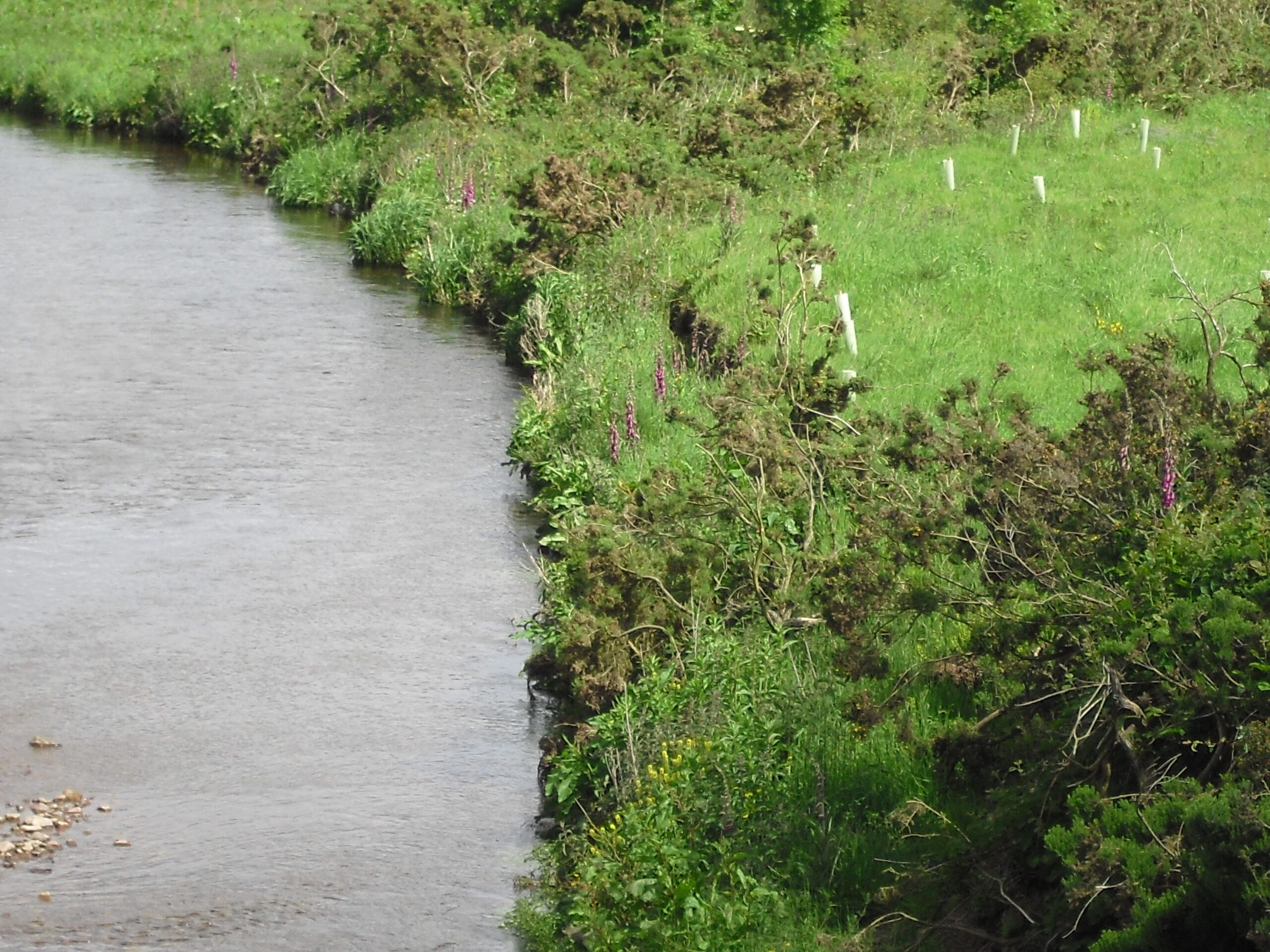
The riparian area has been planted up with a low density, scattered clump approach of suitable native tree and shrub species. As these trees establish throughout the site, their roots will assist stabilisation of the sediment deposits and enhance the wildlife value of the site. Approximately 2,500 trees have been planted across this site. Such planting has not been possible with current forestry grants as the minimum planting density is 1,600 stems per ha; this would not have been appropriate on this site.
Cheviot Futures has also implemented an innovative approach to floodplain fencing on this site, with approximately 1,064m of new fencing. The line of the fence was discussed and agreed with the landowner. Getting the fence line right is important, in order to maximise longevity and to ensure appropriate management for grazing livestock. Detailed information is available on the case study entitled Floodplain Fencing Specification.
As the fencing works removed livestock access to the Bowmont Water for this particular land parcel, Cheviot Futures has also installed an alternative water supply for the field. On this site this is a large concrete cattle trough connected to the mains water pipes. This will benefit the site further by reducing riverbank poaching, erosion and associated diffuse pollution.
Permissions and Consents
This work did not require any level of formal authorisation from SEPA. However, planting works along the riparian corridor within the SSSI (Site of Special Scientific Interest) may require separate consent from SNH in certain circumstances. In this instance the water trough was connected to existing farm pipework – new connections to the mains water supply need authorisation from Scottish Water. If completing similar projects on a farm please ensure the correct consents are obtained (equivalent authorisations apply in England, secured through Environment Agency, Local Councils, and Natural England).
Project Costs (as of 2012)
NB – please note these are included here as a guide only – every site will require detailed quotations.
·Floodplain specification fencing on this site, including gates and stiles for access:
Total cost (net costs) = £7,463
Cost per linear metre = £7.00
·Riparian planting at overall site density of approximately 300 trees/ha
Total cost (net costs) = £4,944
(plus follow-up maintenance costs of £1,600 – net)
·Installation of water trough as alternative water supply
Total cost (net costs) = £1,104
Policy context
The planting of riparian zones is a multi-benefit approach to managing river margins.Not only will planting appropriate native trees be positive to the biodiversity of the area by creating new habitat and connecting existing habitats, but it will also act as a sediment trap by slowing the water flow which is positive to flood alleviation and water quality.Forestry grants through the Rural Development Programmes 2007-2013 only allow for a density of 1,600 trees per hectare, which Cheviot Futures felt was too much in many riparian zones, perhaps this rate could be relaxed when planting riparian corridors in the future.
Acknowledgements
Funding was made available from Northumberland Uplands New LEADER Local Action Group (funded by Rural Development Programme England, which is funded through European Union and DEFRA/Scottish Government).


