Article /
Urban flood stories paint fuller picture of climate risk in East African cities

This article was originally posted on Future Climate for Africa.
Community stories on urban flooding
Communities living in high-risk flood zones in informal settlements in East African cities like Kampala, Uganda, are often proactive in their response to a flood event. They may protect their homes with sandbags, dig temporary drainage ditches, build their homes on raised concrete slabs, or clear refuse from blocked stormwater drains. Yet they are still reliant on the city to plan for, build, and maintain the systems that ensure that storm water clears from these areas. It is local governments’ responsibility to remove solid waste from these neighbourhoods, keep drainage systems working, and engineer roads appropriately.
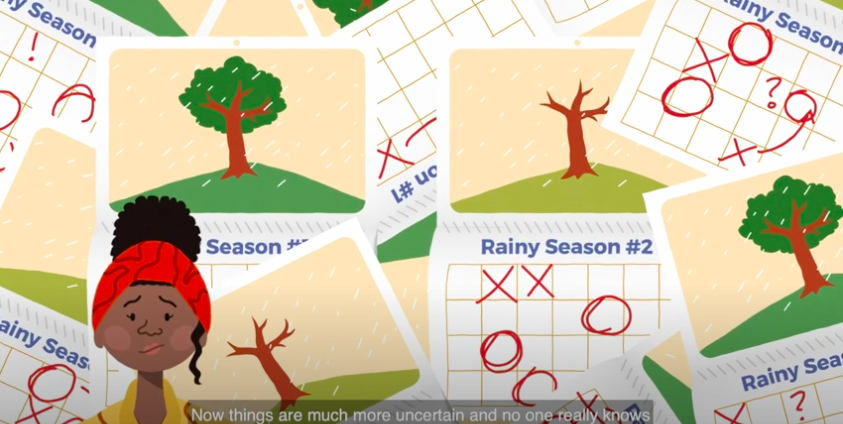
In 2016, HyCRISTAL’s East Africa urban water, sanitation and hygiene (WASH) team held a series of workshops with stakeholders responsible for managing, or coping with, the impacts of urban flooding in two cities: Kampala in Uganda, and Kisumu in Kenya. The community stories that were captured during the workshop process allowed researchers to produce a short animated educational film,Story of a Flood, which describes the typical experience of someone living through such events. It helps those responsible for urban flood management better understand what happens before a flood event, how communities prepare, the problems people have to deal with during the event, and what kind of clean-up operations are necessary.
Insights from HyCRISTAL researchers on urban flood stories
‘This is a disconnect which we hope to address,’ explains Professor Barbara Evans from the School of Civil Engineering at the University of Leeds in the UK. ‘A city like Kampala has a good drainage master plan, with a whole set of infrastructure investments. But one thing that’s missing is the link to the smaller behavioural coping mechanisms that communities adopt in response to floods.’
Evans is part of a multi-disciplinary research team, HyCRISTAL, that has spent the past four years exploring how to draw together the experiences of people living through typical flood events in East African cities, with local governments’ planning and the scientific information coming from climate researchers. The goal is to support local governments with better climate adaptation and planning, incorporating the knowledge and experience of affected stakeholders.
‘There is a close correlation between the effects of living in low income areas, having poor water access and sanitation, and the impacts of these floods,’ says Evans. ‘This is a community of people that is often reduced to numbers or statistics, or an area on a map. But they know what happens during these flood events, they are good at describing them, and they have sophisticated ideas about coping.’
‘We wanted to develop an online risk propagation model which allows users to identify flooding hotspots, and effective points of intervention within their cities,’ explains engineer Dr Celia Way, a research fellow in the same university department as Evans, and another contributor to the urban WASH research. ‘The idea was to build up layers of information, by bringing together existing data relating to health outcomes, with maps for sanitation, roads, flooding, and socio-economic factors.’
HyCRISTAL climate researchers didn’t want to parachute in with prescribed ideas about the needs on the ground, or design a flood risk modelling tool from that perspective. Capturing the experience of the people who live through these urban flood events was a key part of building a more complex and effective model for city administrations to use in their climate planning and adaptation responses. The 2016 HyCRISTAL series of workshop included bringing together representatives from the communities hit regularly by seasonal urban flooding, with city engineers and decision-makers, and climate researchers.
One of the workshop exercises in the four-year process was to get community members from informal settlements in the two cities to study maps and satellite images of their neighbourhoods, to identify where they lived, and draw onto those maps where the previous season’s flood events had happened, and how deep they were.
‘Residents of these affected communities physically marked out on the maps where recent floods had occurred, which allowed us to then compare this with the theoretical flood models,’ says Way. ‘We found there was a good correlation between what the community was reporting, and the model outputs.’
As the FCFA project wraps up, it has produced a series of tools and policy recommendations to support local governments in East Africa plan for and mitigate the problem of urban flooding in the context of the likely increase in extreme weather events linked with human-caused climate change (a synthesis product will be available later this year).
‘A good insight from these multi-stakeholder workshops is the fact that low-income communities in informal settlements aren’t passive recipients of aid. They have to cope with recurrent seasonal flooding with limited resources, but the solutions to the problems are beyond the reach of any one person or community to solve,’ says Evans. ‘What can we do to influence the bigger interventions that are necessary?’
- VIDEO: A story of a flood
- HyCRISTAL: Integrating Hydro-Climate Science Into Policy Decisions For Climate-Resilient Infrastructure and Livelihoods in East
- 'Climate change risk responses in East African cities
- Climate change adaptation and mitigation initiatives for agriculture in East Africa
- Drought and its interactions in East Africa
- Communicating flood risks in a changing climate: nine principles for promoting public engagement
