Niger
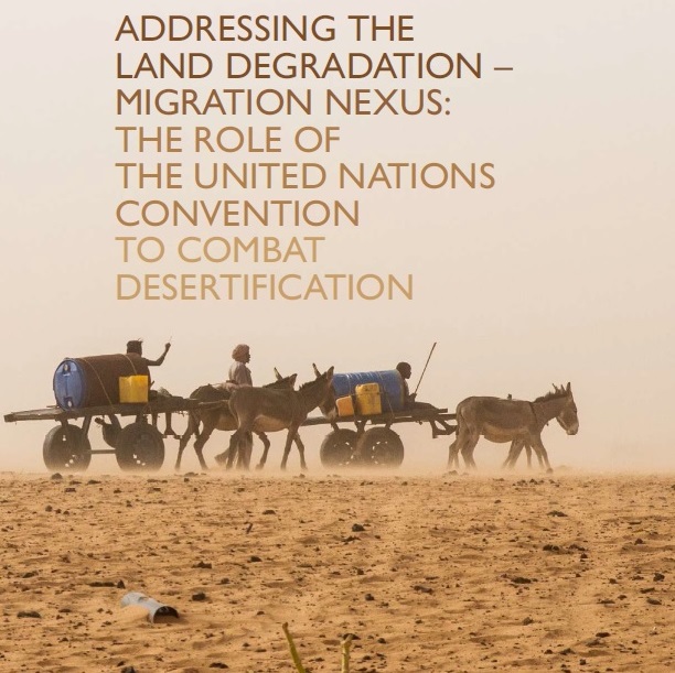
Addressing the Land Degradation –Migration Nexus: the Role of the United Nations Convention to Combat Desertification
A review of existing evidence, good practices, and policy recommendations on the complex interrelationships between migration and desertification, land degradation and drought.
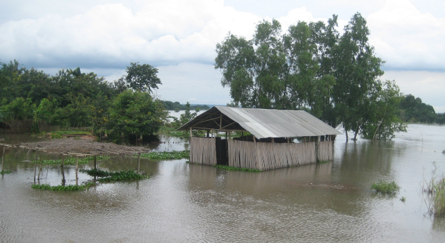
GIS-based mapping of flood vulnerability and risk in the Bénin Niger River valley
In recent decades, flood disaster is threatening human security in West Africa, particularly in the Niger River basin.The study addresses flood vulnerability and risk in the Bénin Niger River Valley
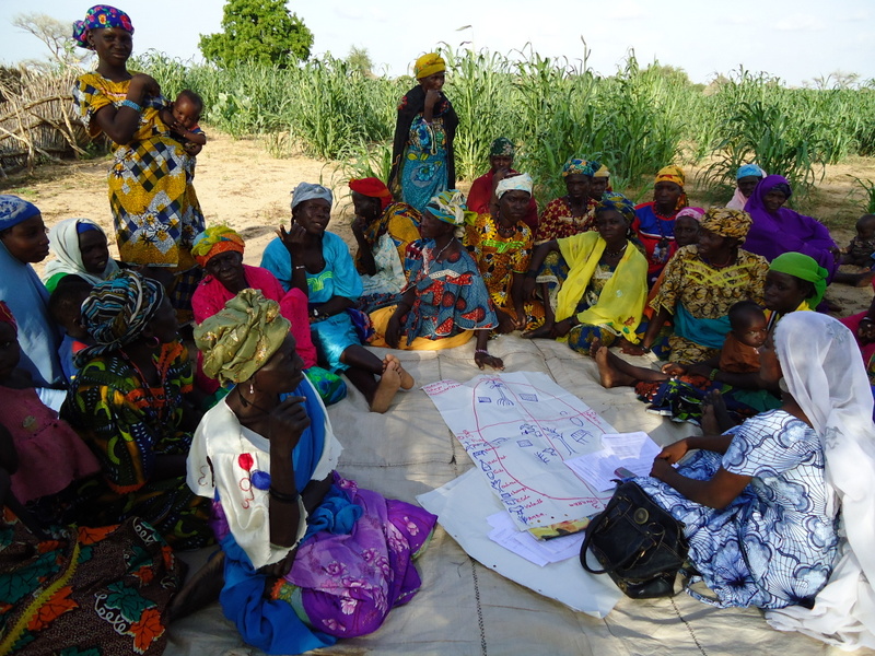
Community adaptation action planning in Niger
This project example outlines the participatory process through which community-based adaptation
action planning (CAAP) was carried out with 20 pastoralist...
Nigeria: Sea-Level Rise and Impacts in Africa, 2000 to 2100. Application of the DIVA model to Africa.
View of Lagos. Image ©http://coastalcare.org/ Impacts of sea-level rise in Nigeria Nigeria’s coast is 850km long and comprises (from west...
Supporting Adaptation of Productive Practices among Pastoral and Agropastoral Communities in the Rombou Rural Commune
The Rombou Rural Commune in central Niger, is faced with frequent droughts as rainfall levels have steadily declined since the...
Climate Change Adaptation and Food Insecurity in Maradi District, Republic of Niger
Summary Being aware of the present and future challenges posed by climate change on their socio economic development, local communities...
Rapport Sur L’evaluation Des Investissements Et Des Flux Financiers Pour L’adaptation Du Secteur Du Agriculture/Elevage Aux Changements Climatiques: Republique Du Niger
UNDP Investment and Financial Flow assessment for Niger, one of the UNDP pilots on the use of the new guidance...
Assisting communities in the Tarka Valley in central Niger to adapt to climate change
UNDP, through its Community-Based Adaptation Programme (CBA), is assisting communities in Niger to respond to climate change and combat land...
Analysis of Adaptation Strategies to Climate Variability in the Sahelian Zone
The Sahara and Sahel Observatory (OSS) member states are located within the Sahalian zone in arid, semi-arid and sub-humid dry...
Climate change and food security in Maradi District, Niger
Dry river bed in Maradi District This ENDA Communities project is working with several communities in Maradi District to develop...

